Aerial photography in agriculture – video
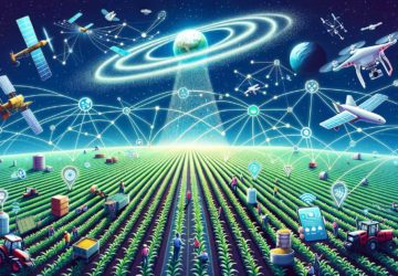
Aerial photography is a precision agriculture practice that is rapidly gaining popularity due to its low cost and high efficiency. Drones give farmers a completely new perspective, allowing them to assess the health of their crops quickly and easily. The process is automated: a drone flies over the field and takes a lot of overlapping photographs, which are then assembled into a map. The map is stored in a cloud platform, that is easily accessed from any computer or mobile device.
Seeing the field from the air can reveal many trouble spots – soil variation, irrigation problems, weeds, infestations and lack of vegetation.
Multispectral images allow seeing the differences between healthy and stressed plants, that cannot be seen with the naked eye. The maps can be exported to GPS devices of farm equipment for differential application of water and fertilizer. These precision techniques allow farmers to save money and time, enhance crop quality and improve yields and profits.
The advantages of aerial photography also apply to other agricultural businesses. Fertilizer and chemical producers can use photomaps to assess the efficiency of their products. Insurance companies can precisely estimate losses and eliminate the human factor in claims management, which leads to significant growth in profits.


